Contents
Environmental Texutres conception and preparation
" Tutorial not yet finished "
The environmental textures are those used in the 3D modeler (at the moment 3DSMax) on the quadpatches serving to represent the environment (ground and natural reliefs). They have to be created under a very precise format and then prepared inside a tileset (an ensemble of tiles with similar textures) which are regrouped in a "tilebank", allowing the creation of a complete environment for a continent type.
Creating the pictures
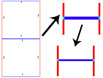
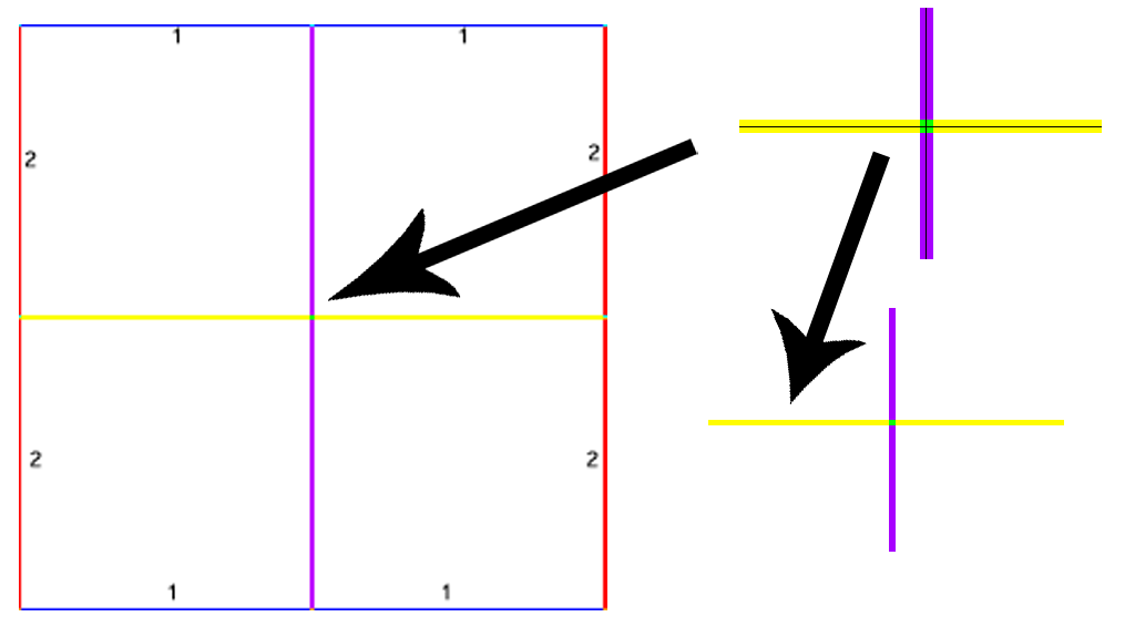
The tiles need to be 128x128 pixels OR 256x256 piexels exactly. They absolutely must respect some content constraints: the top and bottom pixel bands have to be identical for a whole tileset, as must be the right and left bands. This allows the system to superimpose those borders so they are only one pixel in the rendering.
For the 256 textures, they have to be taken as a set of 4 128x128 tiles. It is therefore vital that the border be compatible with the 128 of the same tileset.
The center portions will have to be merged one with the other, as if they were 2 tiles of 128x128, so it's important to consider this in the motif (the two pixel lines in the middle will become a single one).
Example: starting with a high definition of a ground: [http:www.cgtextures.com/texview.php?id=5611&PHPSESSID=k872lvlfkds965i1un8a43o4b1 Gravel0031_1_L.jpg], taken from the excellent website [http:www.cgtextures.com cgtextures.com].
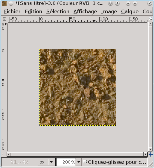
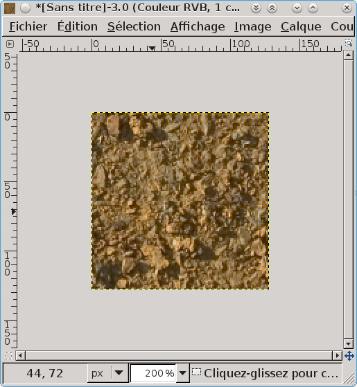
I reduce its size to a quarter to increase content and sharpness of the small zones. I select 128x128 pixels, "ctrl+C/Ctrl+V > Paste as a new picture". I now have a 128x128 pixels picture.
I'll make the picture repeatable to avoid the visually shocking string that can happen when you serial paste it. Filters exist, but I'd rather control the string from begining to ending and explain it at length for this tutorial.
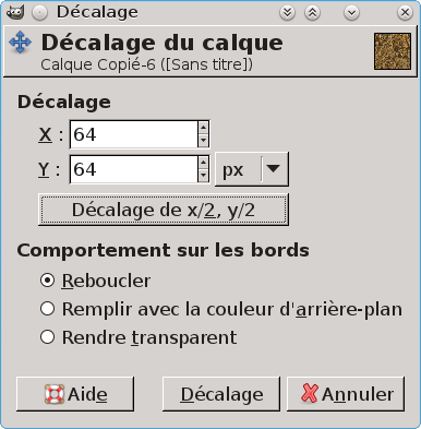
I do "Layer> Transform > Offset".
I get an offset of the picture starting from:
and we get:
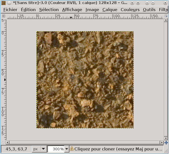
We can guess the junctions due to the offset in the middle parts of the picture, so I correct it with the "buffer" tool, for example, or by redrawing it manually the way I want it. I get:
We now can get a new "offset" to get back the original picture, but with new soft transitions at the borders.
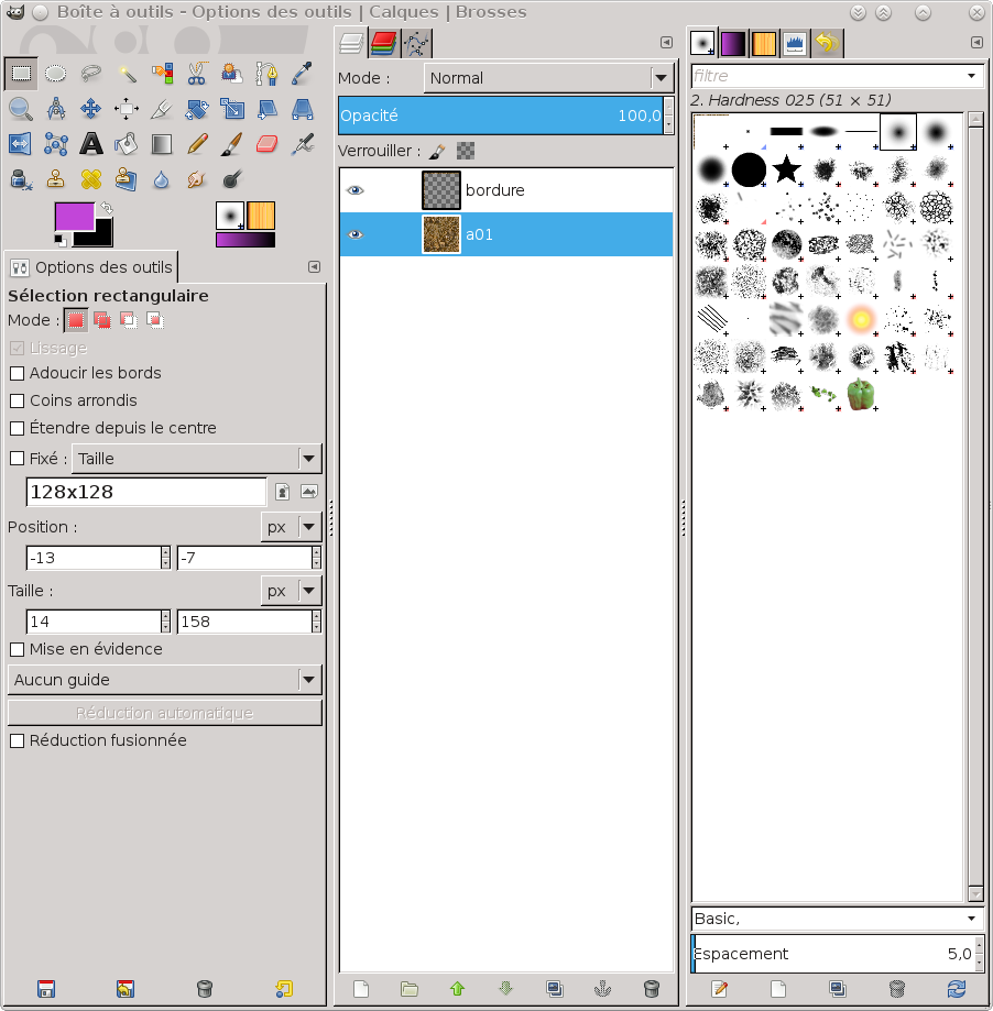
To be sure the borders fit perfectly, I select a 1 pixel band at the top and copy it at the bottom. I do the same with the left band, setting it to the right. Then I select a 1 pixel band around the picture and copy/paste it in a new layer I name "border".
It's this border I must keep for every picture. I can now make different selections of my reference picture and copy them in a layer under that border, apply to them the same treatment as I did to the first picture and each time export the result in a different uncompressed tga, respecting the naming conventions for the pictures of a tileset: [NAME]<now can be organised in subparts to be defined: by region, by surface (ground/walls), by type of soil...
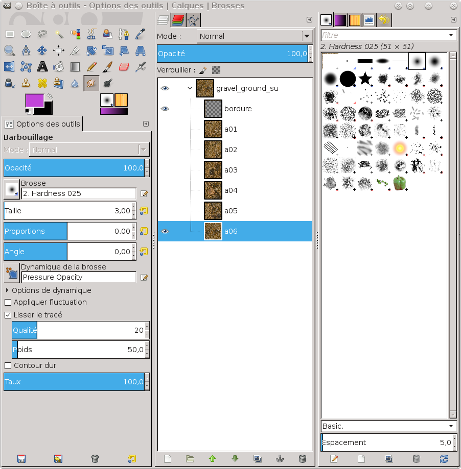
I save my gimp file with the layer name named by the number of the first tile of the string:
I repeat the import operation with several soils and each time, I offset them and make sure the junction with the border layer is soft enough. I name each layer in relation with the [ID] number of the corresponding TGA so I can easily find or modify the source. This is even more important when I amek tiles for a different seaons, changing the colors, adding details or anything. It is good to create at least 4 to 6 128x128 tiles for a tileset. It allows for different rendering. For commodity, I put all the first tilels in a layer file with the name and specificities of that particular string:
Create the tilebank
A Tilebank is a set of tilesets (usually linked to an ecosystem), a group of tiles presenting a particular type of surface. It's with those that we paint the ground.
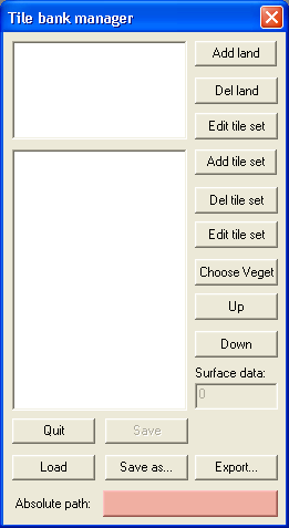
Start the TileBank creation software. It's the software tile_edit_r.exe (Windows only) on [http:ryzomcore.atlassian.net/wiki/display/RC/Downloads+for+Windows|NelTools] to be downloaded and installed.
Left click on the button besides "Absolute path"
Change the path for the path of the texture tiles. If you start from a RyzomCore install, it should be:
W:\Database\landscape\_texture_tiles\
Create the first type of terrain
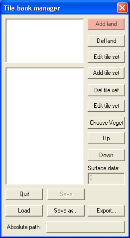
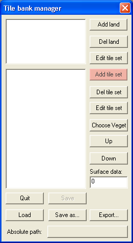
Click on "Add land"
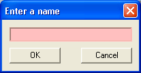
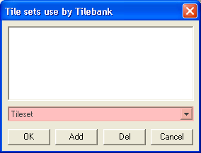
Name the land as you wish (an ecosystem's name seems better), "ashtarie" in our example
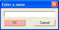
and click "OK".
Click on "Add tile set"
Name this terrain (see the Conventions de nommage) from its aspect, it will be easier to keep it sorted, "grass" in our example
click OK.
